
As we announce our new name and office location,...

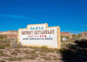
Steve and Susan Dodson built the Paria Outpost from...
The Page, Arizona Service Providers Guide has been compiled...
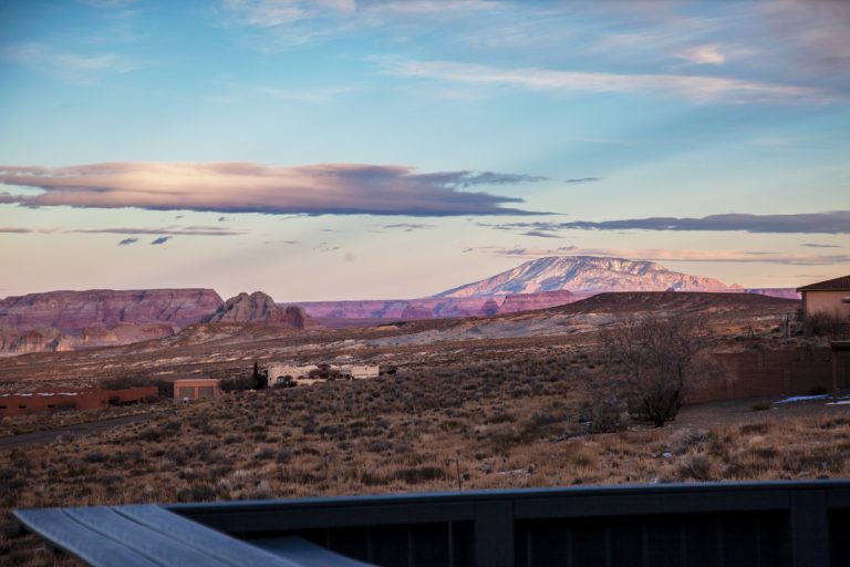
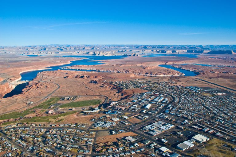
In the breathtaking landscapes of Page, Arizona and the...

A lot of vegetarians and vegans visit Page, AZ...
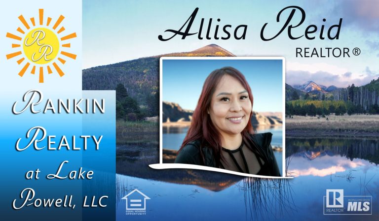
NEW AGENT PROFILE: ALLISA REIDRankin Realty at Lake Powell...
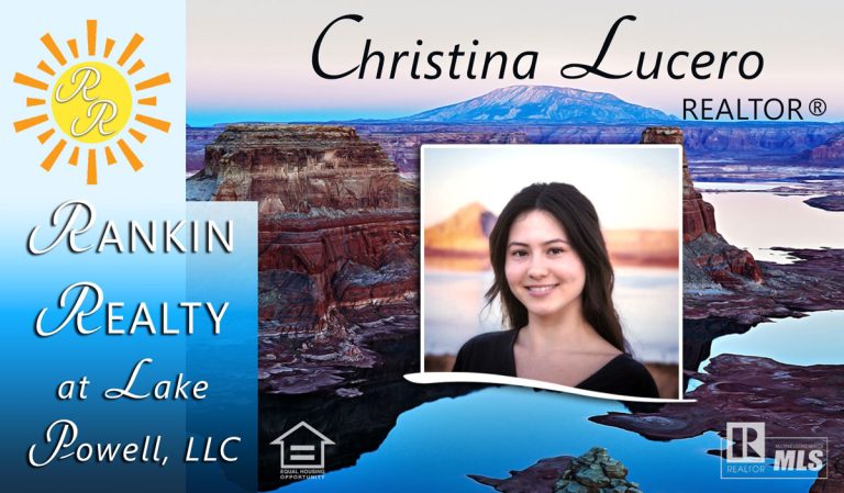
Rankin Realty at Lake Powell, LLC is pleased to...
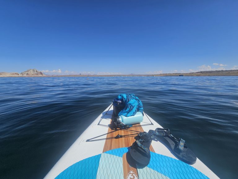
Launching this summer at the Stateline Launch Ramp on...
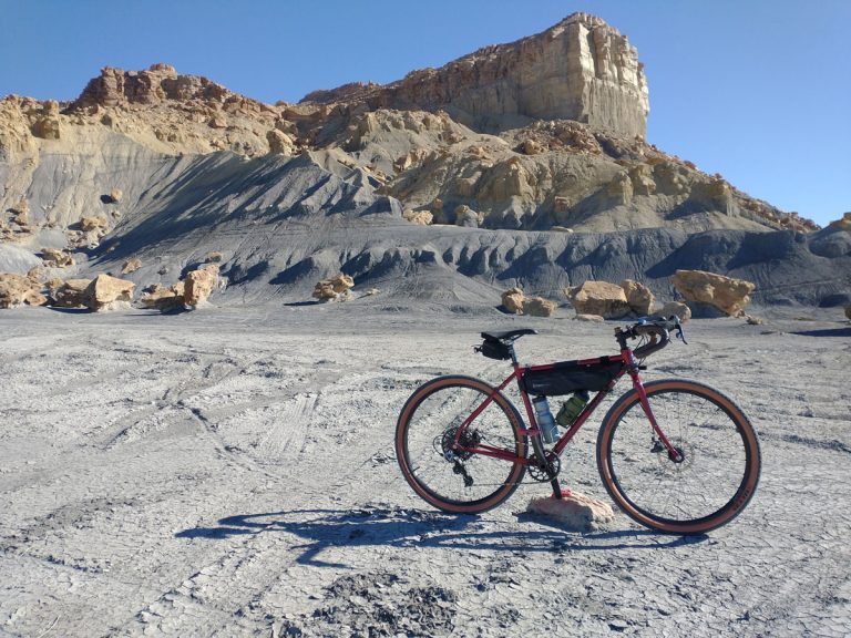
“The back roads behind Big Water contain some of...
More Affordability on The Way From Housing and Urban...
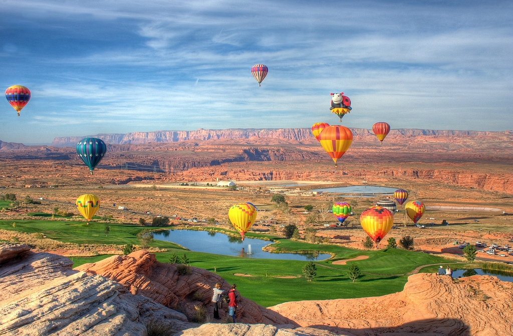
The 19th annual Page Lake Powell Hot Air Balloon...
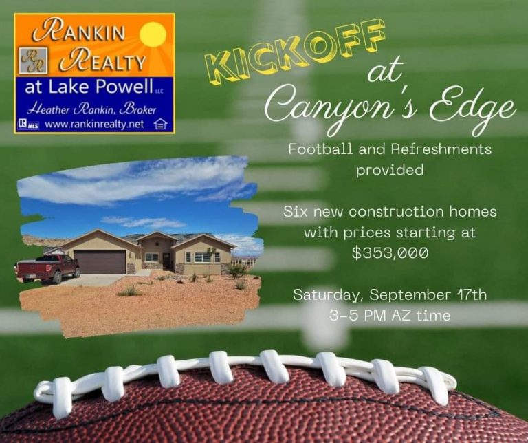
Come see us Saturday September 17th at Canyon’s Edge...